English
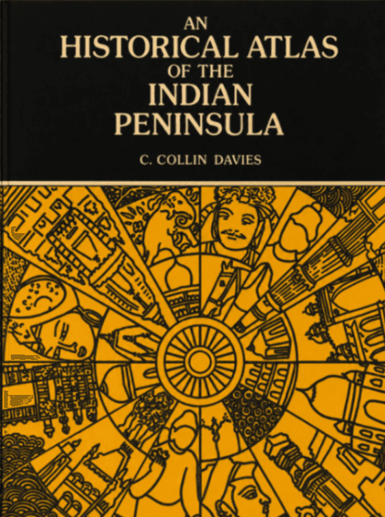
An Historical Atlas of the Indian Peninsula
C. Collin Davies
English
Book
Oxford University Press.
1947
96 pages
21.0 MB
Introduction
The atlas is arranged as a chronological sequence of historical maps with explanatory notes. It opens with the physical geography of India, identifying the major mountain systems, river basins, deserts, coastal zones, and natural routes that affected settlement, invasion, and political control. The early historical maps cover Ancient India around 500 B.C., the mahājanapadas, Alexander’s Asiatic empire, Alexander’s campaigns in northern India, Aśoka’s empire, and India around A.D. 150, including the Kushans, Western Satraps, Andhra kingdom, and other regional powers. The following sections present trade routes between India and the Western world, the Gupta empire, India in A.D. 640, and the political condition of India at the close of the ninth century. The medieval sections cover Mahmud of Ghazna, early Muslim incursions, the Delhi Sultanate, regional Hindu and Muslim powers, and the changing balance between northern and southern India. Later maps trace the Mughal Empire, Maratha power, European trading settlements, British expansion, subsidiary alliances, annexations, and the formation of modern political India.
Copyright Notice
This material is provided solely for academic research, study, and religious practice purposes under Article 25 of Vietnam's Intellectual Property Law. Reproduction, distribution, or commercial use is strictly prohibited.
If you are the author, translator, publisher, or rights holder and believe this content has been posted without proper authorization, please contact us and we will promptly review and remove or restrict access.
Documents
An Historical Atlas of the Indian Peninsula
21.0 MB
Keywords
Indian historical geographyhistorical atlasIndian PeninsulaAśokaGupta EmpireMughal EmpireBritish India.
Sách đọc nhiều nhất
Buddhist Meditation: An Anthology of Texts from the Pāli Canon
Sarah Shaw (General Editors: Charles S. Prebish and Damien Keown)
Book·17.5 MB
253 pages2006200
The Buddha’s Ancient Path
Piyadassi Thera
Book·10.7 MB
229 pages1979197
A Taste of Freedom
Venerable Ajahn Chah / Phra Bodhinyana Thera
Book·1.2 MB
104 pages1980197
The Questions of King Milinda, Part II
F. Max Müller (Editor)
Book·20.8 MB
427 pages1894197